home again
I’m home again! I just got back to Denver after being gone for the past week and a half. I flew to Tucson and then drove from there to Durango with Brooke’s father. Then Brooke met us for a couple days and we drove to Denver together.
My father-in-law in a “snowbird” who spends the warm half of the year living on a mountain south of Durango, Colorado, and the cold half of the year in the desert southeast of Tucson, Arizona. That means that twice a year he shuts down one house to be gone for a few months, then drives his big diesel pickup truck with camper to the other place, and then makes that house liveable after having been gone.
As he gets older, he appreciates some help with all this work. And since I’m unemployed I’ve got plenty of time this spring for things like this. It also means we had time to make the trip slower than usual and do some sightseeing along the way. That’s what I’m about to tell you about, with photos.
Sunday May 17, 2026
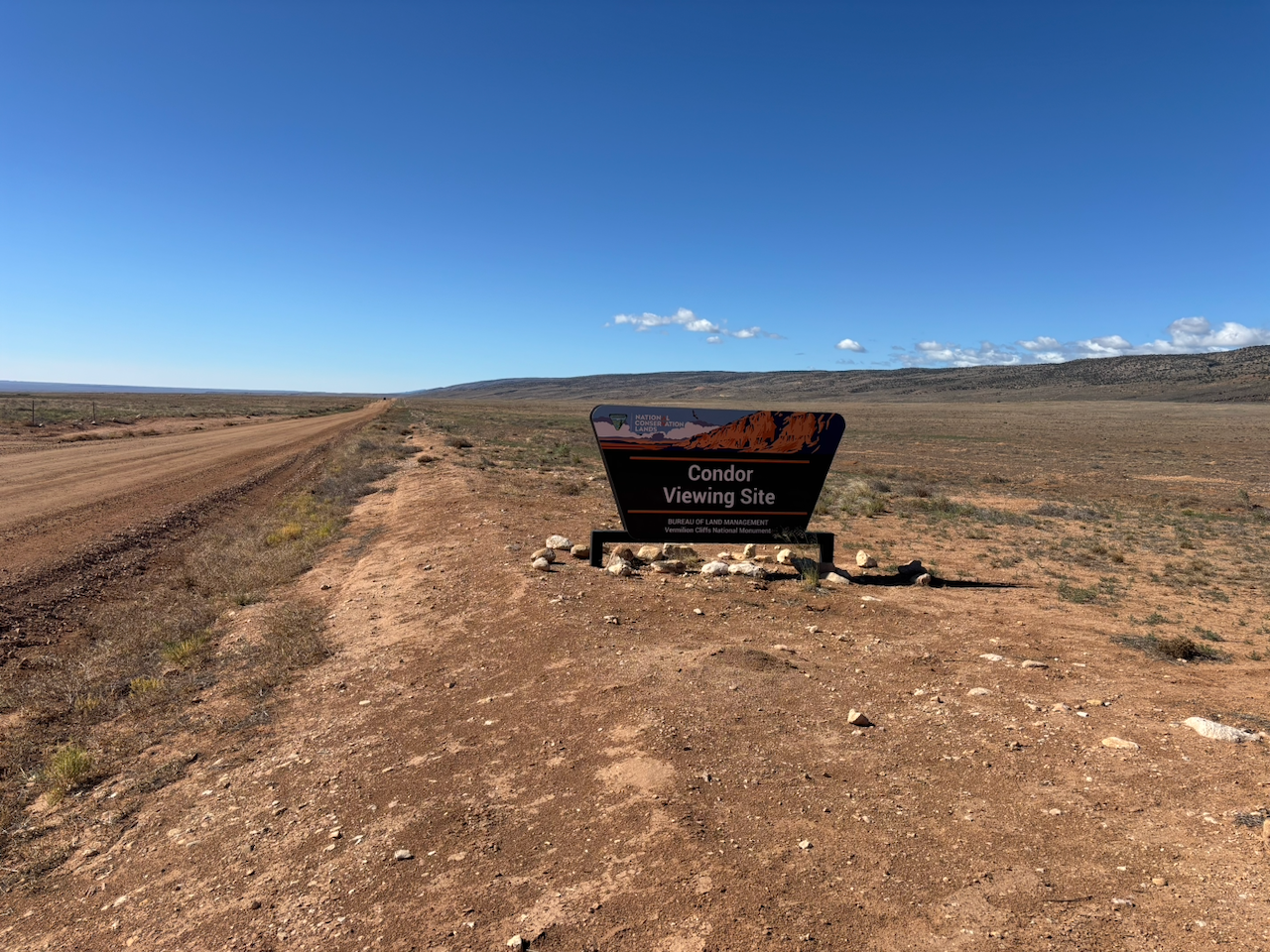
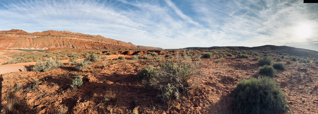
The first day on the road was the most driving. We wanted to get far away from the traffic of the city, so we drove from Tucson to the area north of the Grand Canyon. That meant driving through Phoenix and Flagstaff, past the Hopi Reservation, and to a place called Marble Canyon. We drove across the Navajo Bridge and around the south side of Vermilion Cliffs National Monument. That night we camped near the Vermilion Cliffs Condor Release Viewing Site on BLM land.
Monday May 18, 2026
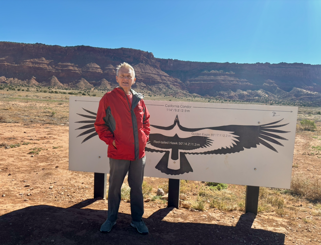
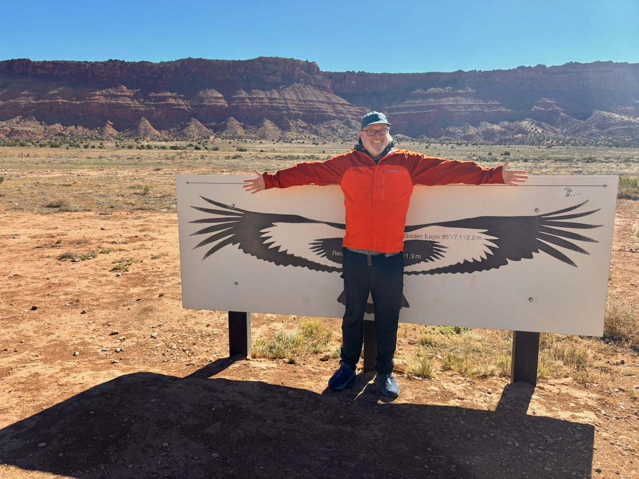
The next morning, we braved a very cold wind to try to view the condors there. But we didn’t see any.
The California condor is the largest bird in North America. Their populations have been in decline since the Pleistocene. Apparently, they evolved to eat the carcasses of megafauna like mammoths and giant sloths. When most of those died out, they had to adapt to eat carcasses of smaller animals like bison and elk. And due to having less food, their numbers dwindled. Then when Europeans arrived with DDT and lead shot in shotguns, their already-diminished population crashed to a low of 22. But conservation scientists have been raising and releasing new ones every year since 1991 and their numbers have improved. Also, their range has increased. They used to only be seen in California but now they range extensively in northern Arizona and southern Utah.
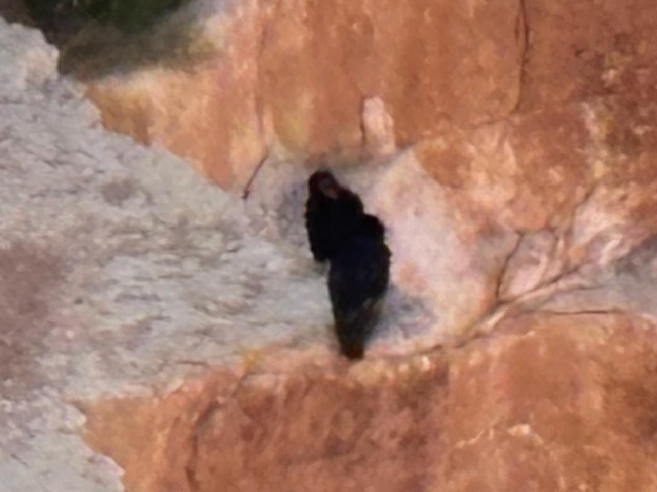
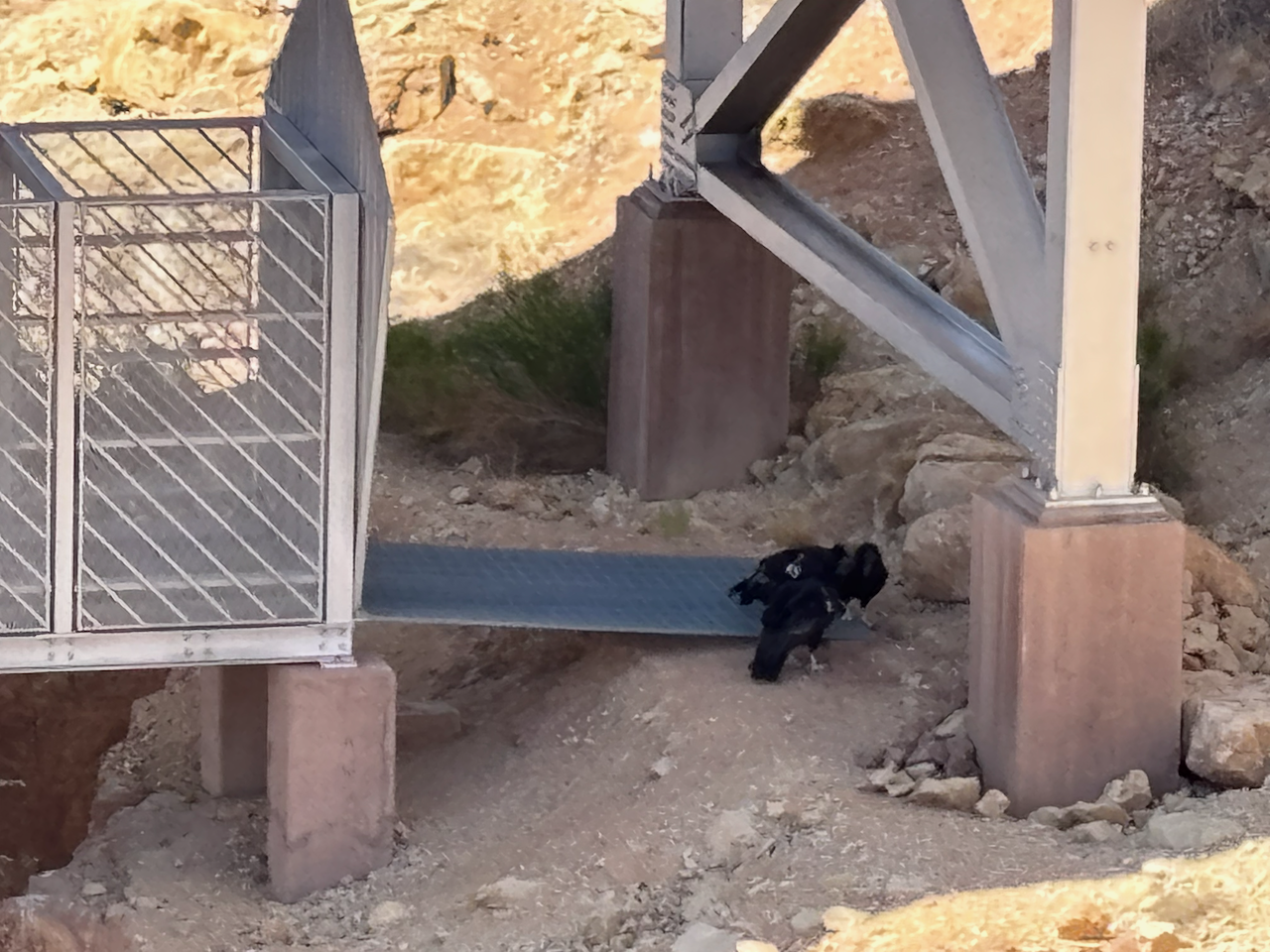
After giving up on the official Condor Viewing Site, we drove back the way we came, stopping at the historic Navajo Bridge] in Marble Canyon.
The bridge is actually two bridges. One is the original built in the 1920s, and the other is the new one built in the 1990s. The original was too narrow and weak for some trucks, so now it’s just used for pedestrians who want to walk across the Colorado River. The new one beside it is used for motor vehicles. It was cool to be able to walk across the Grand Canyon and back, though this far north it only takes 20 minutes.
The cool thing is the condors like hanging out under the bridges. And so this is where we saw them - three in a group on one side of the river and two in another group on the other side. We didn’t see any birds flying. They were just waddling around pecking at each other.
Please excuse the terrible photo quality. I just took these photos with my phone, and so I don’t have a telephoto lens.
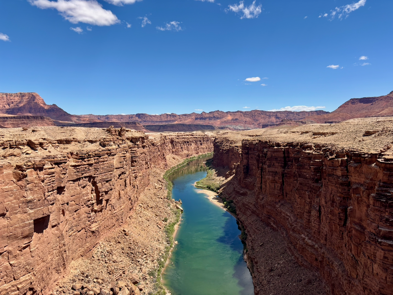
Below is the Colorado River gorge. The river is the color of an emerald, which tells you were are just a few miles downstream of the Glen Canyon Dam. The water’s not supposed to look like this. It’s supposed to be muddy and silty, and opaque brown from all the silt it carries. But “Lake” Powell (really a reservoir, not a lake) stops the water so the silt all falls out of the water, and then the water that’s released is cool and clear, from the bottom of the reservoir. It’s good for trout fishing, but trout aren’t supposed to live here. They’re an invasive species. I’ll get off my soapbox, but I could go on and on about the horrors of Glen Canyon Dam and Lake Powell.
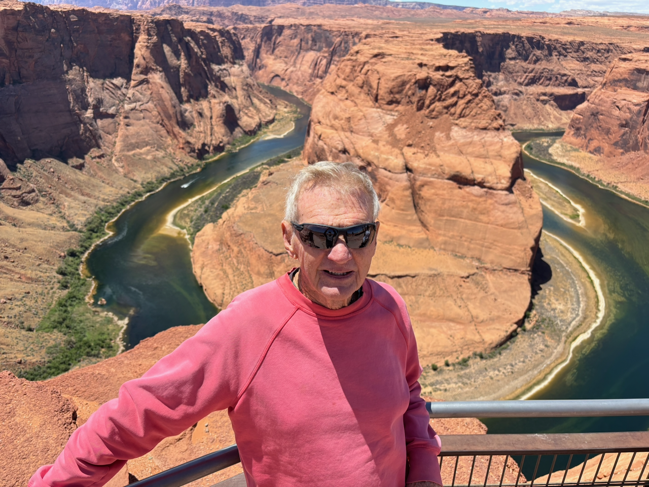
The next stop on our journey was a geologic formation called Horseshoe Bend. It’s an entrenched meander, one of dozens in the Colorado River system. But since this one is near the Grand Canyon, it’s been turned into a tourist destination by the locals in Page, Arizona. We heard more different languages spoken on our two hour visit than in the whole rest of the trip.
Here’s Whitey posing in front of Horseshoe Bend.
I was glad to skip Page, and we drove on after that. We camped that night at Navajo National Monument. It’s a rare Park Service campground that gets such little traffic you don’t even need reservations to camp there. Plus, there is no fee for admission to the Monument or to camp there for a night!
Tuesday May 19, 2026
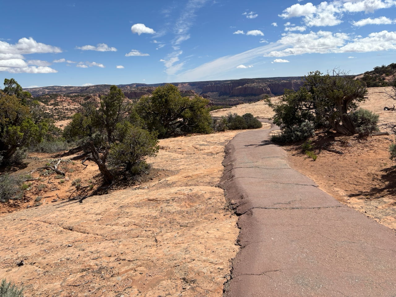
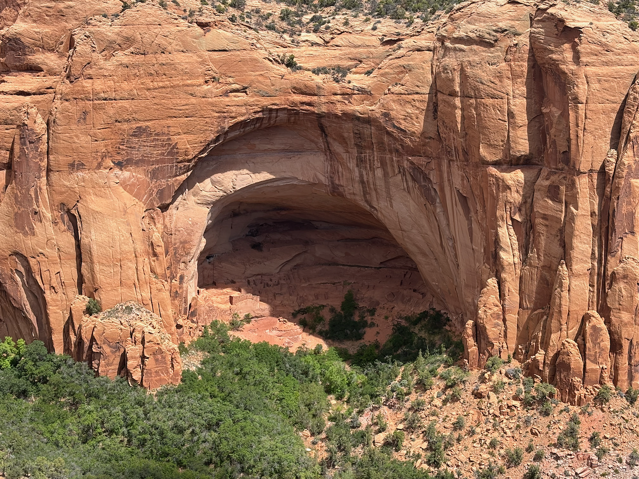
The next morning we took an easy hike to Betatakin Overlook. It’s a short (2.6 miles round trip) and easy trail to a viewpoint across the canyon from a cliff dwelling called Betatakin, occupied in the 13th century. I was glad to go for a couple reasons. One, I’d hiked to Betatakin about 20 years ago and wanted to see it again. Two, I just recently read a book that talked indepth about archaeological excavations in Navajo National Monument, including Betatakin, back in the 60s. So it was fresh in mind.
Here’s the alcove where something like 100 or 150 Ancestral Puebloan people lived for a short period, before continuing their migration journeys.
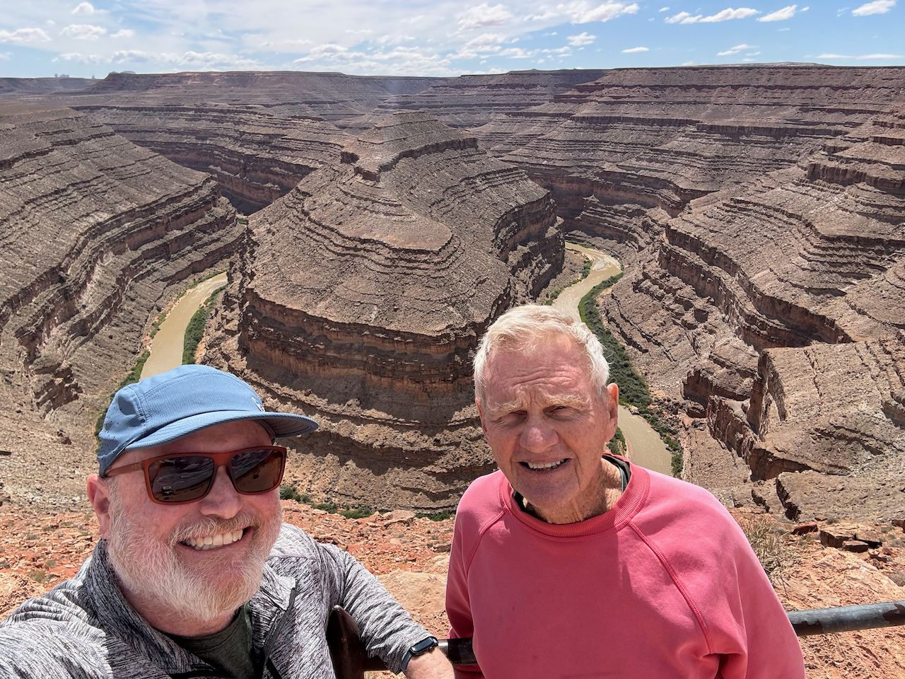
After that we had lunch at a Navajo-owned diner in Kayenta, and then drove through Monument Valley to Mexican Hat. Crossing over the San Juan River to the north side, we then drove to our second entrenched meander of the trip, a place called Goosenecks State Park. Admission was cheaper, there were a lot fewer people, and instead of just one meander you get to see several in one place! Just one more reason I think Utah is better than Arizona.
Here’s a photo of the two of us in front of the most obvious meander.
And here’s a wide angle shot showing most of three meanders side by side. Years ago, I rafted through this area of the San Juan on a guided and outfitted trip put on by the Glen Canyon Institute.
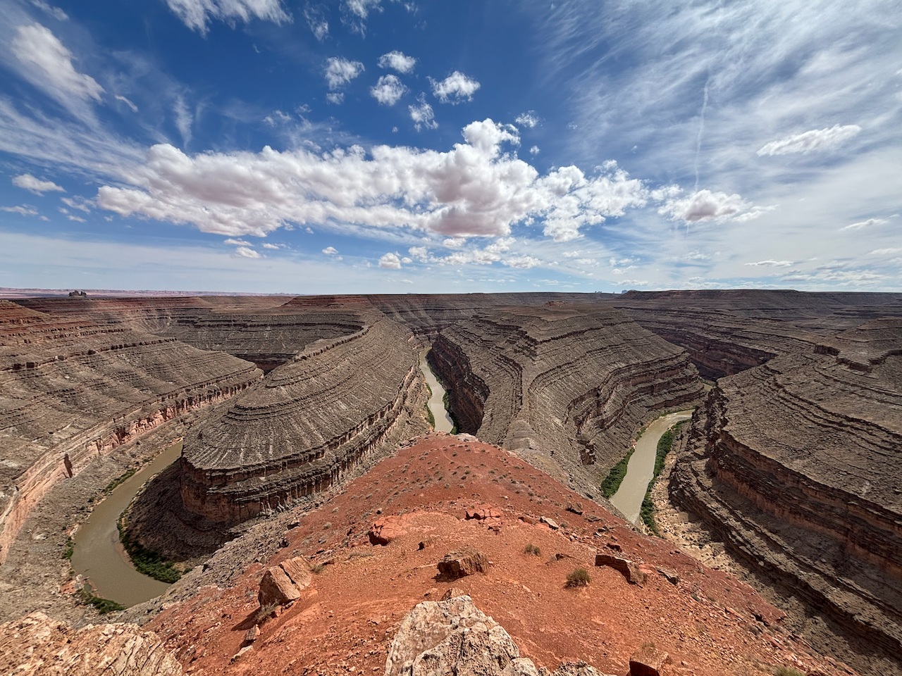
What in the world is this “entrenched meander” I keep talking about? Well, it’s when two geographic phenomenon happen in the same place. The first is a river meander. The second is an entrenched river. Check out the Wikipedia articles for the details. One related geographic phenomenon I think is really cool is called an “abandoned meander”. In the desert Southwest, people often call those a “rincon” (Spanish for “corner”). Those are also all over the Colorado River system.
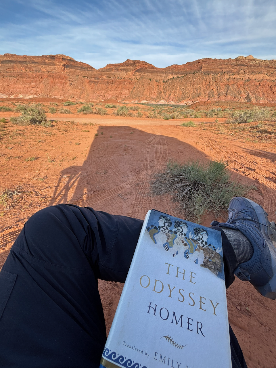
After leaving Goosenecks, we drove a few miles east to Bears Ears National Monument, and made camp on BLM land in Comb Wash.
In the foreground is me reading The Odyssey in preparation for the new film adaptation later this year. In the background is Comb Ridge. You can tell from the shadow that I intentionally placed my reading chair in the shade of the camper. Now that I’ve had skin cancer five times, I make a serious effort not to spend idle time in the sun. Whenever I’m taking a break, it’s in the shade.
Wednesday May 20, 2026
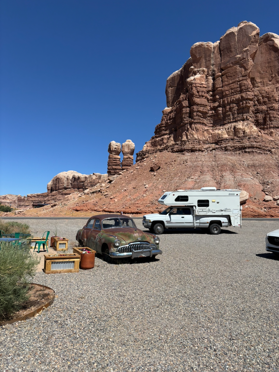
After our last camping breakfast, we packed up and set out for the last stretch on the road to Durango. But first, I wanted to stop at a new coffee shop in Bluff, Utah. I’ve seen it a couple times, but never stopped. I’m glad we finally stopped there. It’s awesome - there’s good coffee in memorable decor. One corner of the shop is a bookstore feature local authors and local interests; it’s like a “pop up” shop of Back of Beyond Books, the famous bookstore in Moab. And there was a lot of great art all over, some for sale. The cafe is called Cow Canyon Coffee, and now I’m planning to go back every time I’m in Bluff. I hope they become a long term fixture of the town.
One funny side note: When I looked over the pastry case, a couple of the items looked familiar to me. So I asked about it, and learned that Cow Canyon Coffee had catered the Celebrate Bears Ears event I attended back in March! No wonder the blue corn muffins seemed like we’ve met before.
Here’s Whitey’s big pickup camper rig parked out in front of Cow Canyon Coffee, with Twin Rocks in the background, next to a 90 year old sedan.
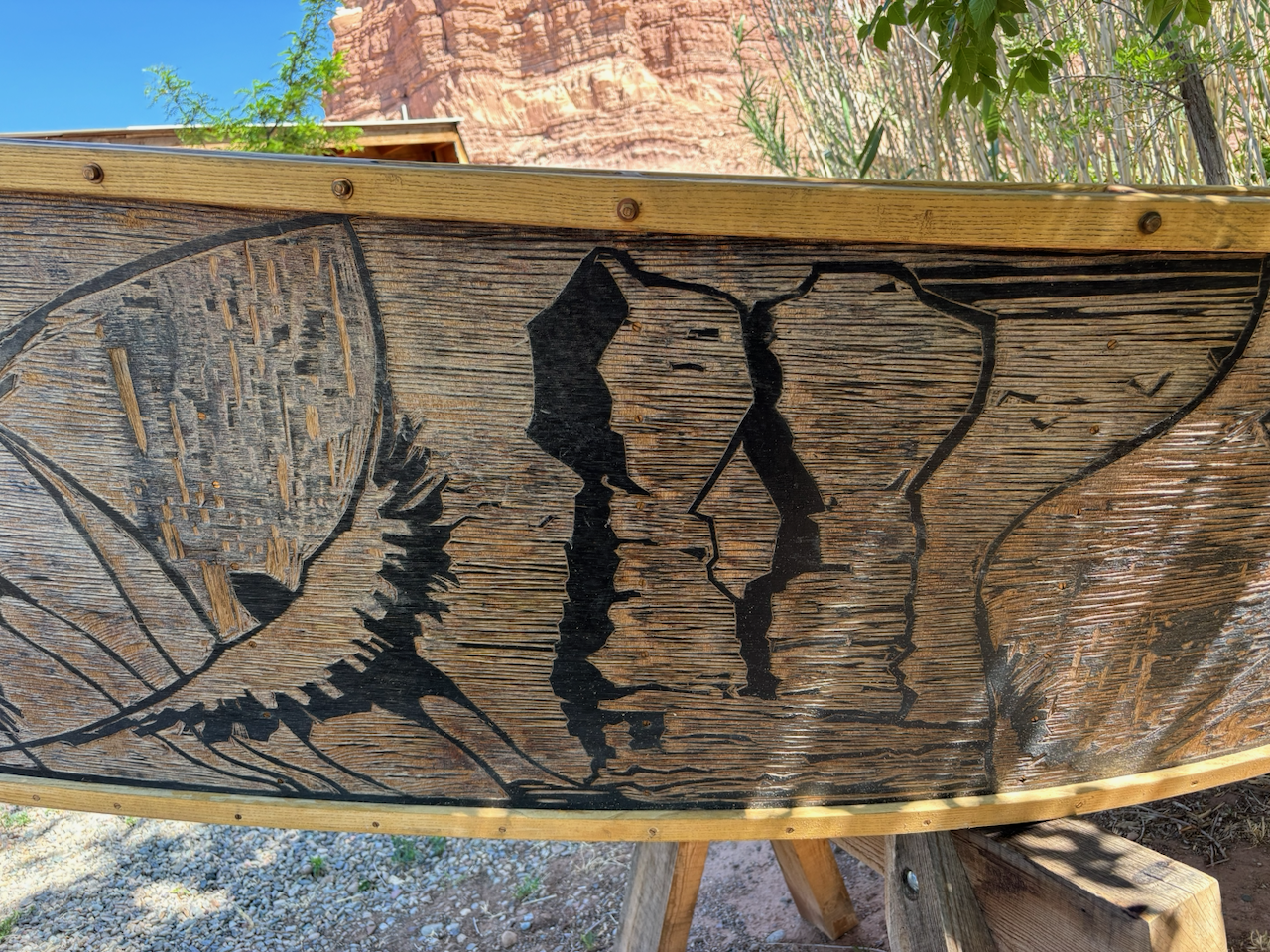
Outside the coffee shop were a half dozen dories (a type of wooden boat used for river running - I’ve been in one on the San Juan River, but not allowed to drive) with artistic side panels. They delighted me. Here’s the side of one of these boats behind the coffee shop. To the right of a heron is the Twin Rocks formation that’s sort of a signature of Bluff.
After that we drove through the Navajo and Ute Mountain reservations, eventually landing in Durango.